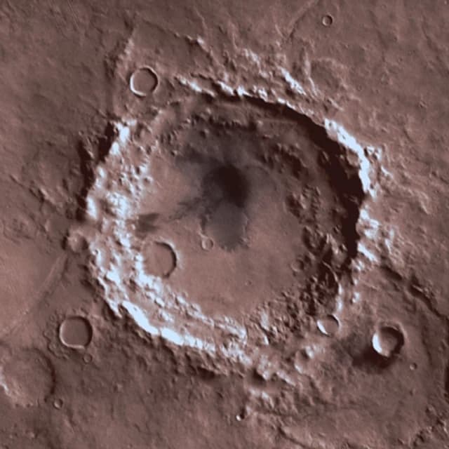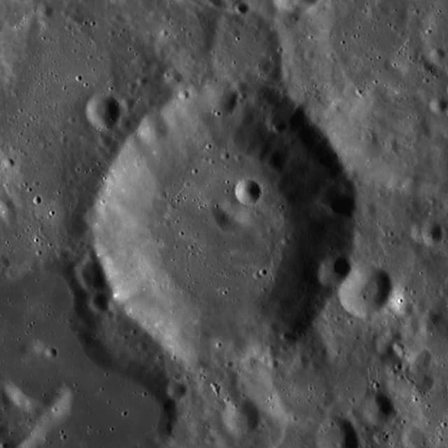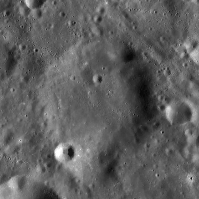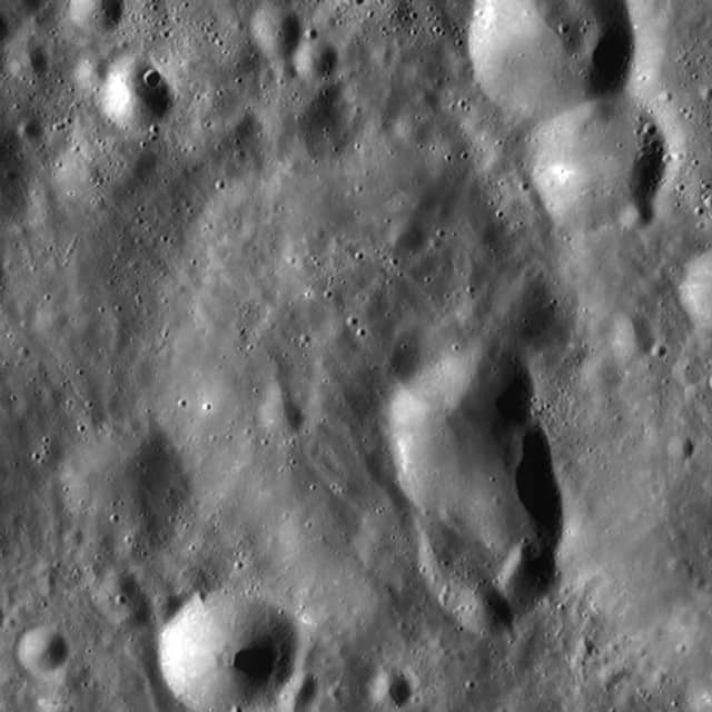
First, identify and measure a feature
Scientists use observations and mapping methods to identify crater candidates and estimate their positions and sizes. A catalogue row is the result of a particular method and source release. Its identifier lets later work refer to that observation without relying on a decorative label.
A measurement should travel with its coordinate convention and provenance. Latitude, longitude and diameter are useful only when you know what they describe. Before combining catalogues, check their definitions, versions and uncertainties; two nearby entries do not automatically mean two separate real-world objects.
Then, build a map you can interpret
A flat map projects a curved surface onto a plane, while a globe provides another view. The image product, projection, location and scale all affect what you see. Image coverage and resolution can vary even when a source is scientifically reputable.
Official names serve scientific communication
The USGS approval guidance describes requests based on scientific need, with feature information, images and justification. Proposed names are reviewed through the relevant IAU process. This is a system for consistent reference in maps and research, rather than a gift-ordering service.
An unnamed catalogue record has not thereby become available for unrestricted commercial naming. Current official-name screening, nearby or nested features, individual imagery, source rights and the terms of the proposed service still need consideration.
Read a private record on its own terms
In CRATERNITY, the personal title and recipient name remain separate from the scientific identifier. The registry can show that a dedication was recorded in this service and that its content matches its audit history. That does not change external scientific databases or establish ownership of terrain.
The current full atlas contains 130,660 research records at least five kilometres across. It is intentionally larger than a homepage showcase. The showcase helps you start, while the complete atlas lets you investigate the scientific context without downloading the entire dataset into your browser.
Sources and further reading
Primary scientific and naming guidance checked on 6 November 2026. Gift suggestions are CRATERNITY editorial recommendations; source organisations do not endorse this service.
- USGS: how planetary names are approved ↗
- NASA Science: lunar impact craters ↗
- USGS / IAU Gazetteer: naming FAQ ↗
CRATERNITY data provenance and image credits · Privacy and sharing